DGA x Ineo
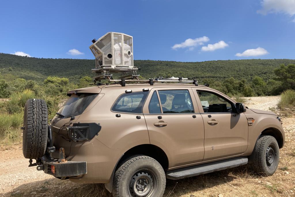
Development, Acquisition and Support of Lightweight Surveying Systems - STL
Location: OPEX and national territory
Contract duration: 18 months (2019 - 2021)

-
Challenges
Challenges
- To have rapidly available in urban areas updated data allowing the production of 3D products for the specific needs of intelligence support and contact combat, force protection, and target determination and processing;
- Production of 3D urban area plans, complementing 2D data for and from CQI. -
Our solutions
Our solutions
Supply and integration of the Leica Pegasus Two Mobile Mapping sensor in the VT4, PVP and VAB VAT vehicles;
Development of software to produce intermediate and finished products for GEODE 4D.


